
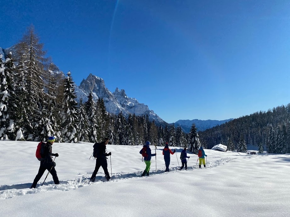
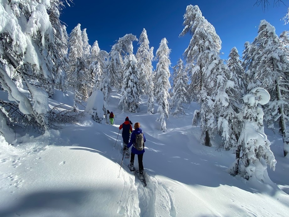
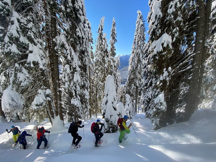
The route from Malga Ces to Piani della Cavallazza is a hike with no major elevation gain and allows you to enjoy beautiful views and pleasant resting places.
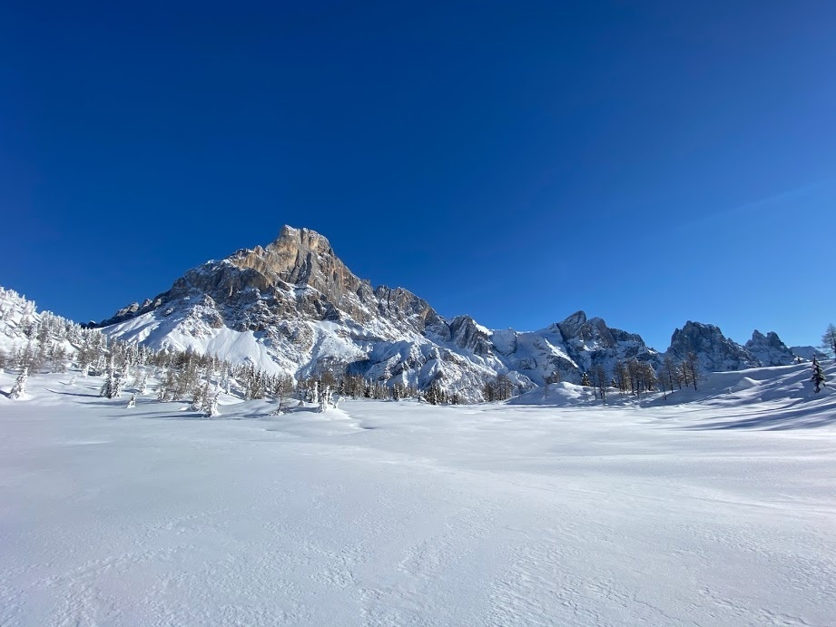
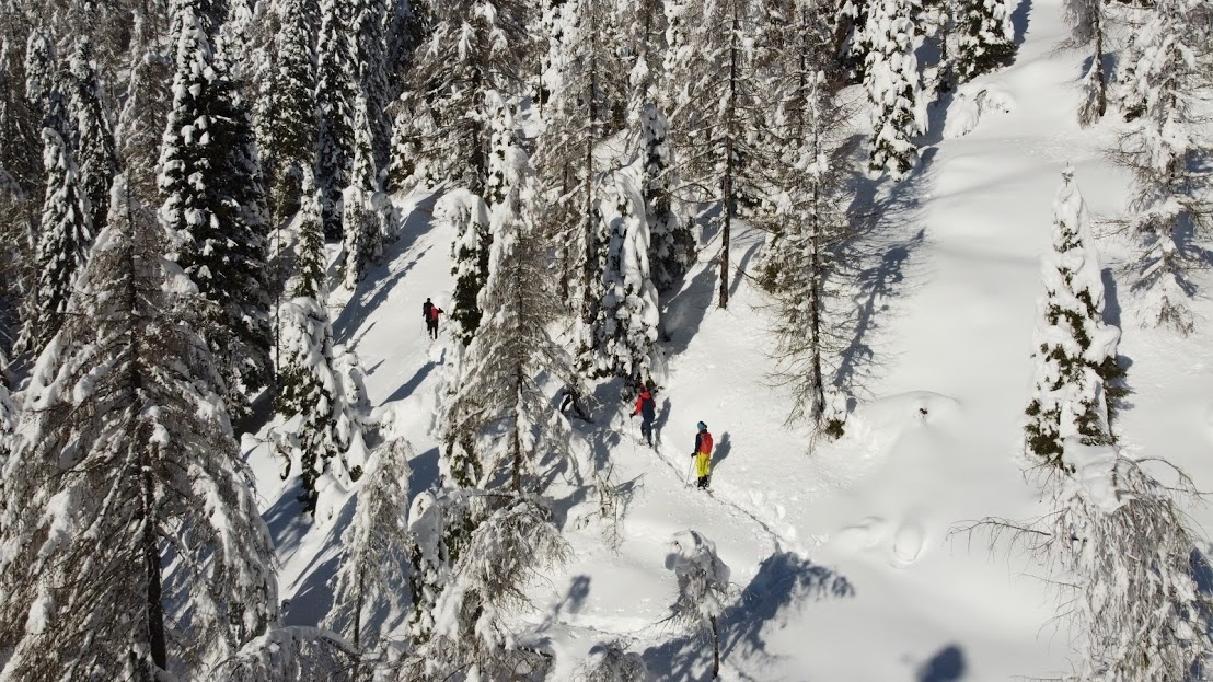
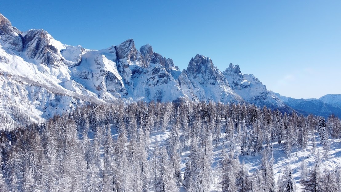
The itinerary has as its starting point Malga Ces (1,660 m asl), which can be easily reached from San Martino di Castrozza also by own means, from which a flat path branches off in a westerly direction that initially crosses the "Valbonetta" ski slope and then enters the forest. After a few hundred meters a sign appears with directions to the Piani della Cavallazza (Trail No. 15, which you take on the left). Having crossed the Strada Forestale Val Bonéta, you then climb toward the Piani della Cavalazza in the only real uphill part of the itinerary, which nonetheless consists of a comfortable path with wide hairpin bends and slopes accessible to all. Along the ascent, the trail alternates between woods and clearings and, after passing some aqueduct buildings, heads toward the summit of Piani della Cavallazza (1,972 m asl), with its small but spectacular flat terraces located close to Cima Cavalazza. From here there is a splendid view of the Pale di San Martino chain and sometimes of the village of San Martino di Castrozza. The trail then descends slightly, leading into a semi-open marshy area characterized by sporadic vegetation with the presence of larch and mugho pines, an integral reserve of the Paneveggio Pale di San Martino Nature Park. When you reach a fork that leads to Malga Fosse di Sotto, we recommend continuing for a few hundred meters, still along Trail No. 15, taking the path on the left towards Passo Rolle / Malga Fosse di Sopra. This section of Trail No. 15 allows you to cross the most striking, panoramic and wild part of the Piani della Cavalazza, with the Cimon della Pala in the foreground together with the Pale di San Martino group.


