Buse dell’Oro: Valbona - Malga Colbricon - Buse dell'Oro - Paneveggio
This historical route on the Lagorai crosses what was, between 1916 and 1917, one of the theaters of the Mine Warfare between the Royal and Imperial armies: the Buse de Oro (or Buse dell’Oro).
Located west of the Pale di San Martino, between the summit of Colbricón Piccolo and the Val Travignolo, at the edge of the Paneveggio forest, the swamps of the Buse de Oro today barely recall their past; however, where nature has not yet completely taken over the remains of the old imperial barracks, it is still possible to get an idea of how they looked over 100 years ago, in the stillness of a front line extremely difficult to defend, where human ingenuity was used by military genius to fight a rather hostile nature. The relatively simple circular hiking route covers a good part of the “Peace Path” / European Path E-5 (a historically commemorative route marked on signs with a black eagle), but the areas it crosses at its highest part are anything but well-trodden; for this reason, it is recommended to carry a map or a more modern GPS device.
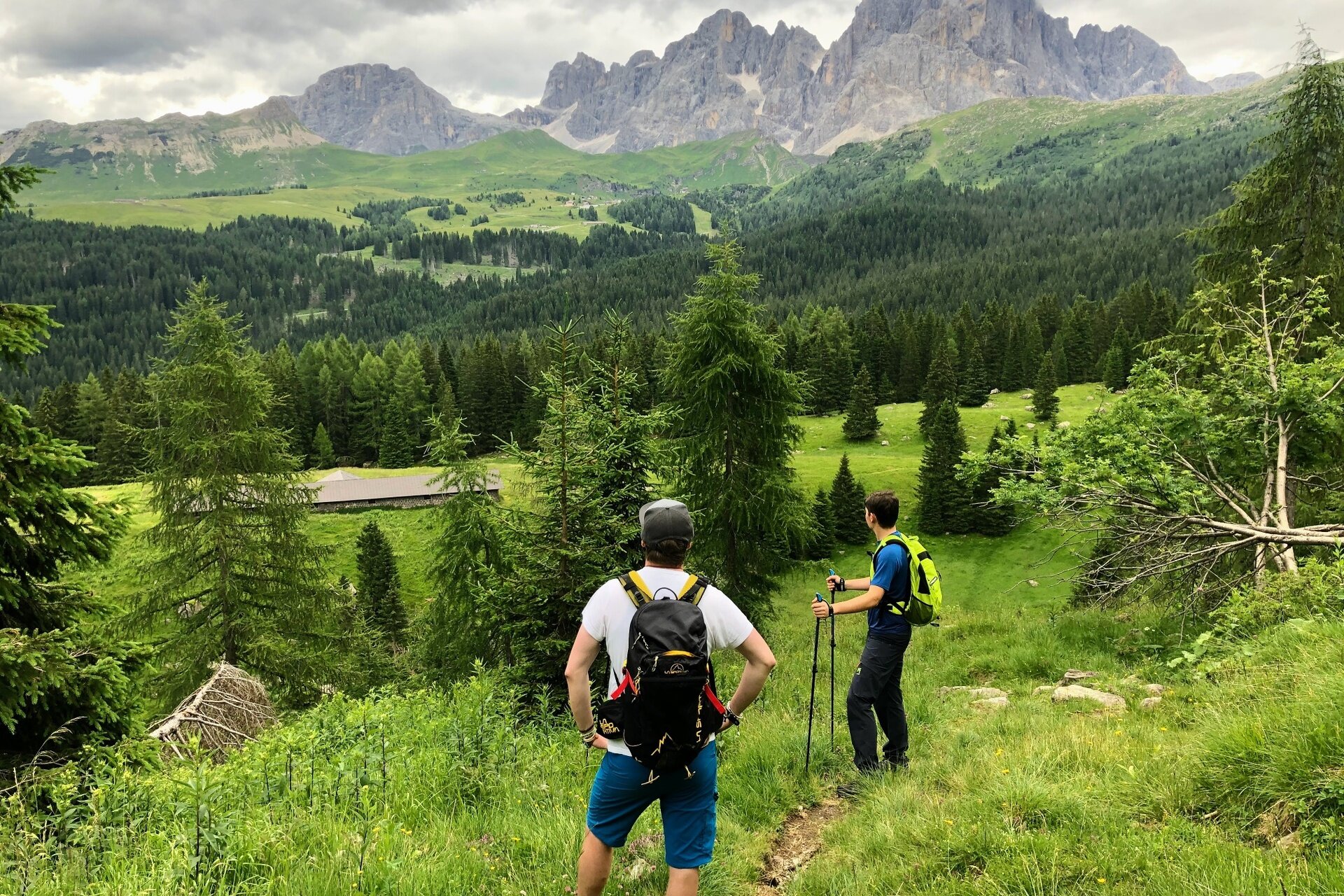
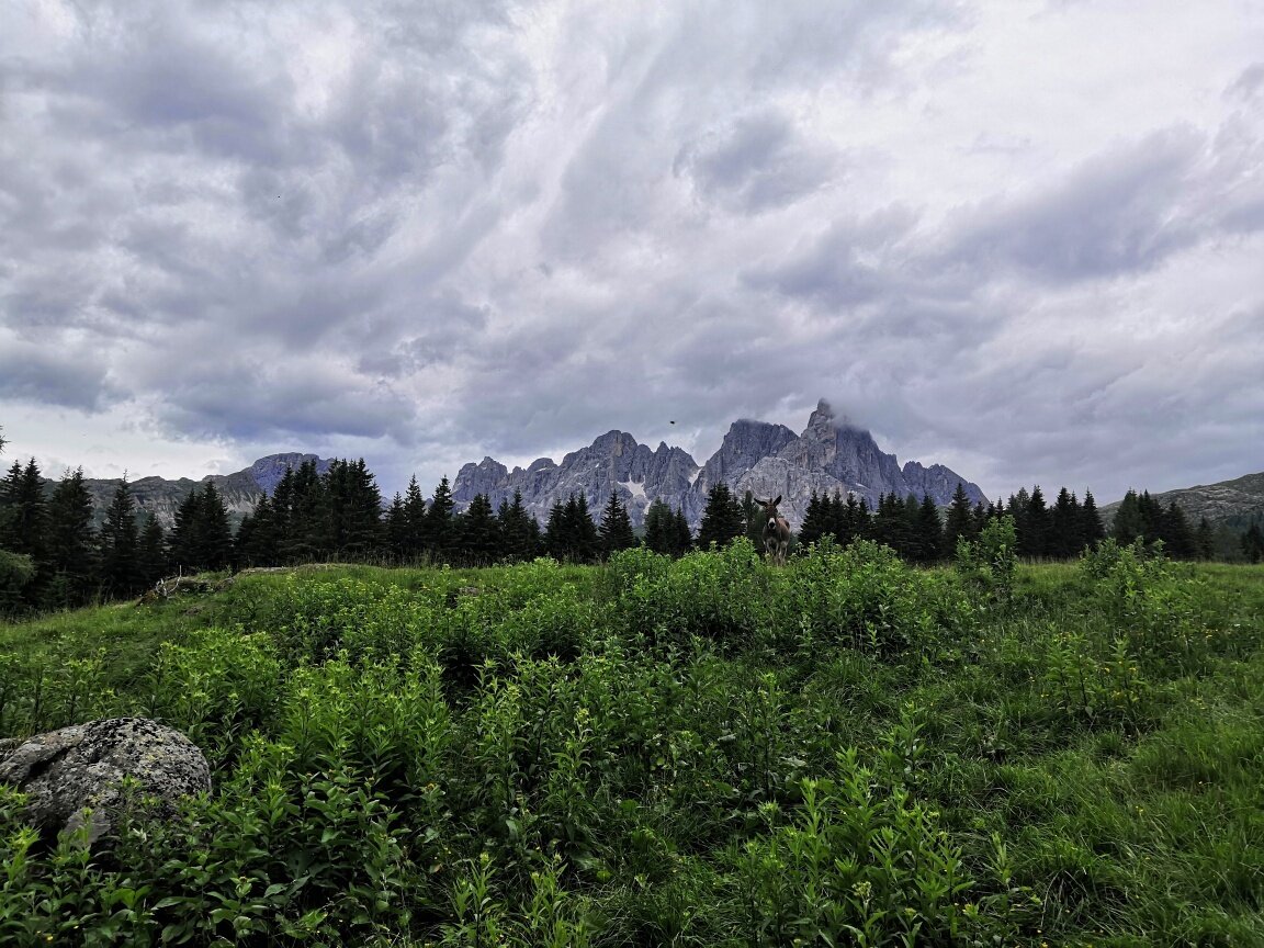
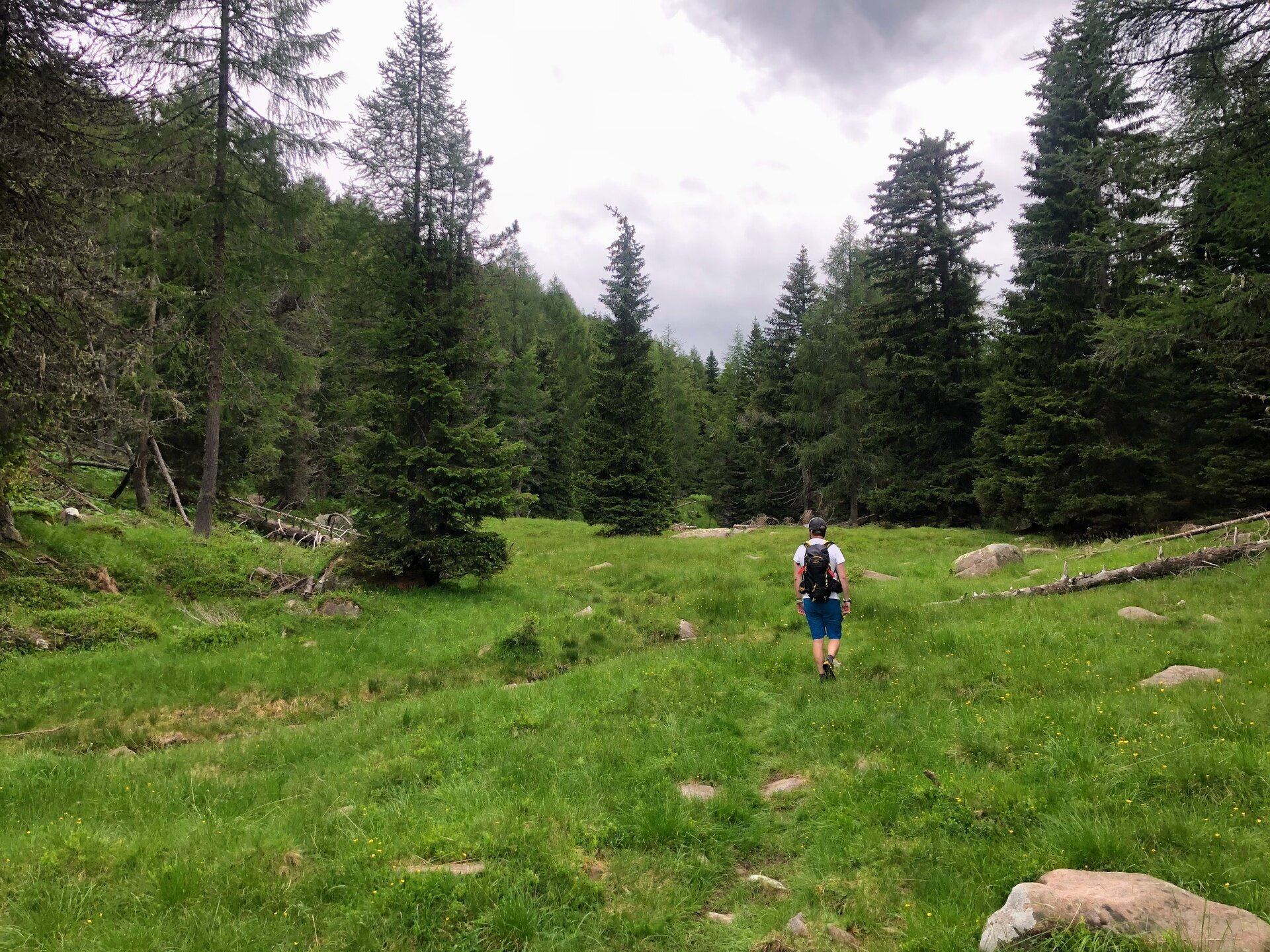
The starting point is near the parking located about three kilometers from the Passo Rolle passover, descending towards the Val Travignolo along the SS 50. From the parking lot (about 1,620 m asl), where there is a memorial stone for the XIII Bersaglieri - who in July 1916 passed through these places on their way to the Cima Colbricón -, the route begins by taking the flat forest road towards Malga Colbricón / Rifugio Laghi di Colbricón, leading in less than half an hour to Malga Colbricón. Crossing the Rio di Valbòna in the wooded environment of the Colbricón forest, during the peaceful ascent you encounter a second memorial stone recalling the victims of an explosion of a Great War explosive device that occurred in 1926 during the post-war reclamation of these places. A very last stretch on a mule track precedes the pastures of the (former) Malga Colbricón, from where the view opens wide towards the opposite Pale di San Martino, with Cimón de la Pala as the protagonist.
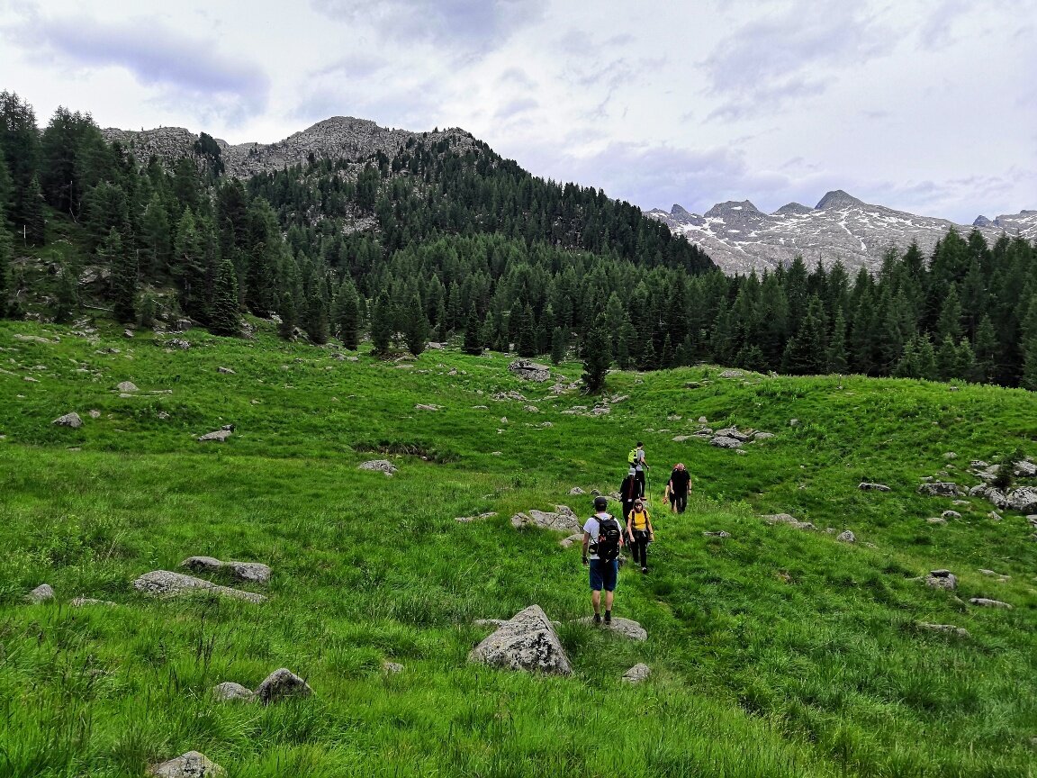
Arriving at Malga Colbricón (1,838 m asl), the trail continues until it reaches the junction at the edge of the pasture, where a sign indicates, on the right, Buse dell’Oro. From the junction you then continue on the “Peace Path” towards - indeed - the Buse dell’Oro, initially along a trail that ascends crossing the ridge and then on a military mule track (not always well marked) that steadily climbs through an extremely wild marshy environment.
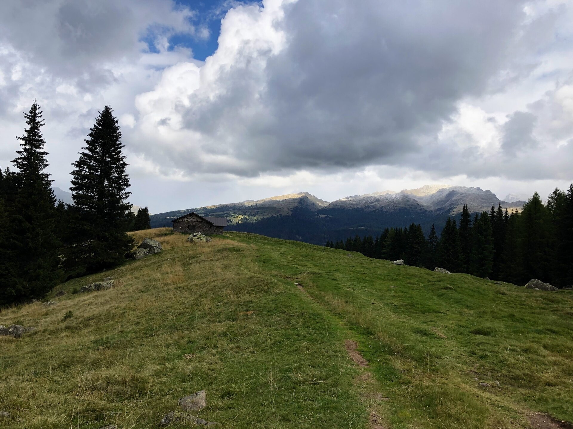
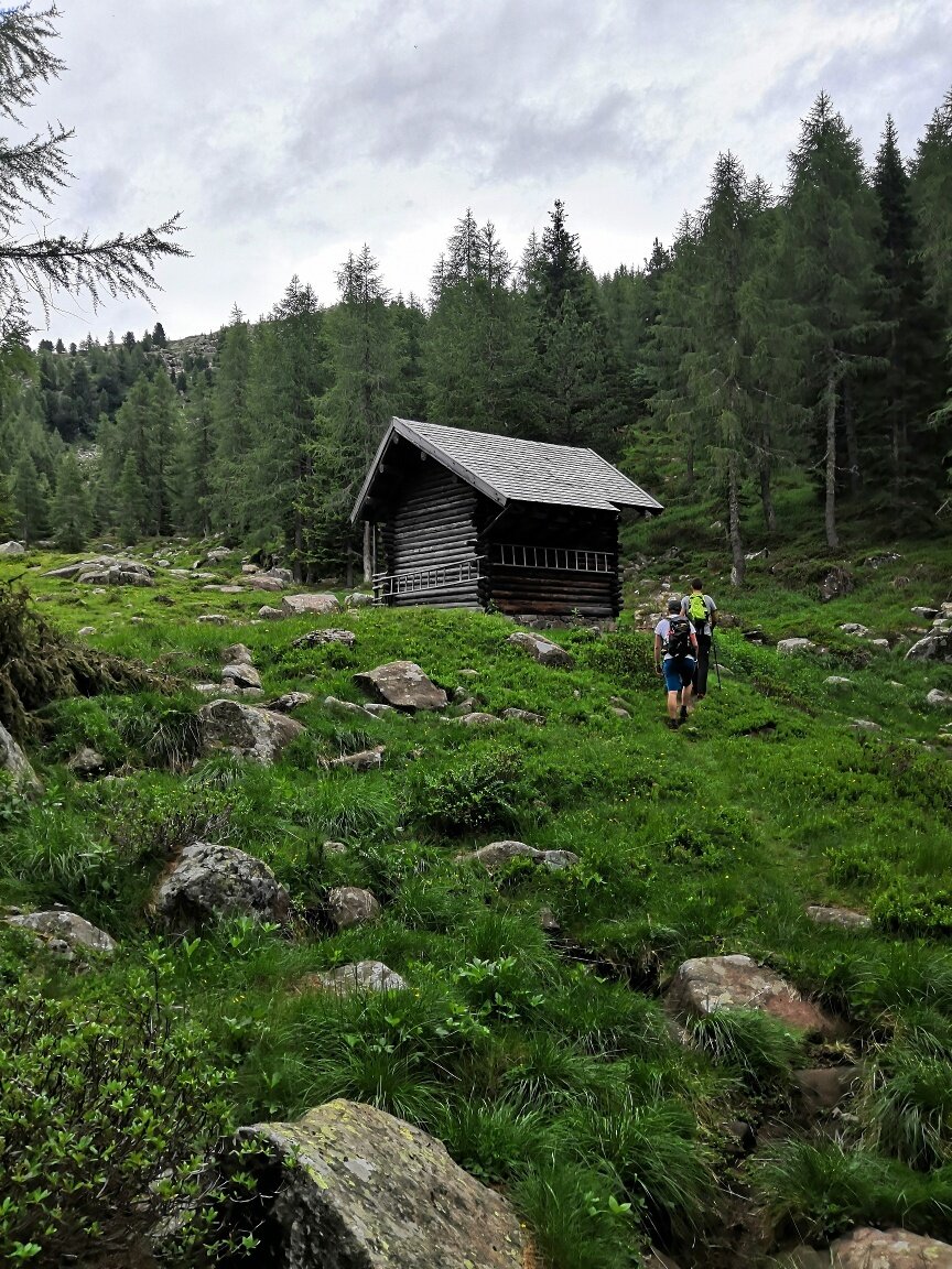
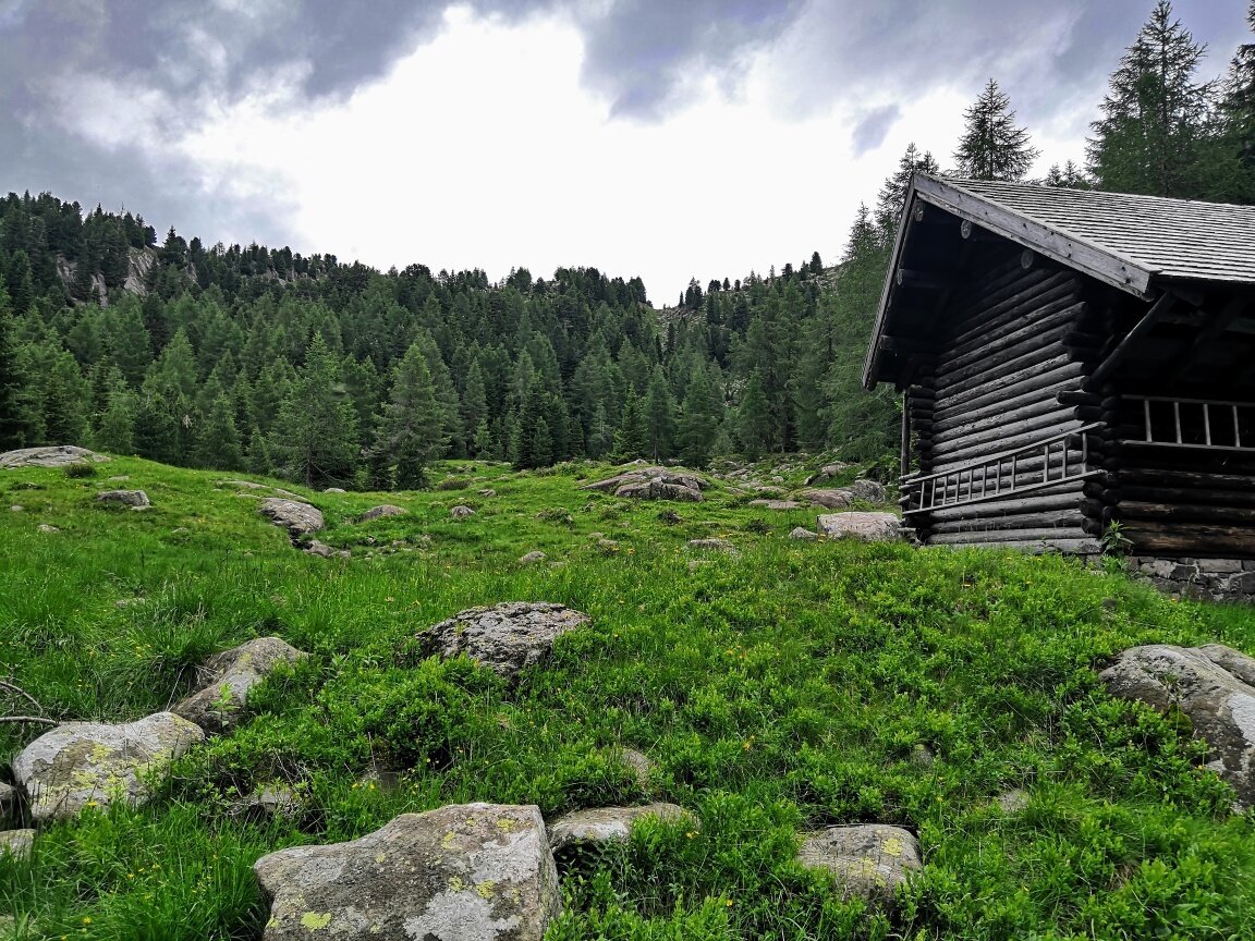
From the first remains of military trenches, visible just a few meters from the mule track, the path descends slightly until it reaches the beautiful grassy basin of the Buse dell’Oro, which faces upstream towards the peaks Colbricón Piccolo and Ceremana. Crossing the basin and passing the bridge over the Rio Buse dell’Oro (2,015 m asl), a final short ascent in the woods along a faint but obvious trail leads, in less than 300 meters, directly to the Baito Buse dell’Oro (2,045 m asl), a rustic wooden hut used as a shelter.
About these places, Dolf Kickel of the IX Gebirsbrigade wrote in his diary in 1916: “The Italian artillery is nestling among the rocks even at Passo Rolle and from that place fire hostile shells, which strangely whistle through the air along their trajectories above the valley and the heights. [...] The trenches stretch out crossing the pleasant, wild and romantic beauty of nature, disturbing the sacred peace by their mere presence. Below us, halfway through the village of Paneveggio, squeezed between the few house foundations, winds the hostile trench with its insufficient, poor shelters in the ground. [...] From the ‘Buse dell’Oro’ up to the so-called ‘Nose’, from the Great to the Small Colbricon not far from the Ceremana ridge flowing on the other side, both positions alternate, which are at a hand grenade throw from each other and deeply dug into the rocky ground mostly consisting of natural shelters and piled stones. In this place, strong nerves in surveillance and war actions are the song of the front day and night. The magnificent play of colors on the rock tower of Cimon della Pala has faded.”
From the hut, the path returns to the bridge, shortly before which, on the left, it is possible to glimpse what remains of the mule track that led from Pian di Ceremana to the Buse dell’Oro (inaccessible but still shown on many maps), definitely an impressive engineering work of the imperial genius for its time. From the bridge, proceed left, descending on a trail (in its first meters not very visible) that follows the course of the Rio Buse dell’Oro towards Pùlesi / Paneveggio. Trail No. L18 descends in large switchbacks with steady slope the southern shores of the Val Travignolo, at the base of which lies the artificial basin of the Lago di Paneveggio. At the next junction, proceed right, toward East, always on Trail No. L18 towards Paneveggio / Pùlesi; shortly after, beyond the vegetation, the lake begins to appear, which is then skirted at altitude until reaching the equipped rest area of the locality of Pùlesi. Arriving at Pùlesi (1,465 m asl), where the artificial basin begins, continue towards Paneveggio / Sentiero Marciò along the comfortable forest road which, alternating meadows from which the village of Paneveggio can be seen on the left with sections immersed in vegetation, quickly leads to the junction that on the left leads to the suspension bridge over the Travignòlo. After passing the suspension bridge junction, continue, always keeping the direction, along the forest road of Sentiero Marciò; crossing the bridge over the Rio Colbricón you arrive, in a few hundred meters, at a junction with a wide path that you take on the right towards Passo Rolle and which leads directly to the starting point near the Valbòna parking, thus closing the route. It is also possible to shorten the last meters of the route by following one of the numerous trails that, from the wide curve of the road next to the Rio Colbricón, climb in the forest beside the stream.
