Protected by the porphyry chain of the Lagorai and the granite massif of Cima d’Asta, this valley extends over an area of about 125 km². It can be reached from Imèr through the tunnel under Mount Totoga or along the scenic road over Passo Gobbera.
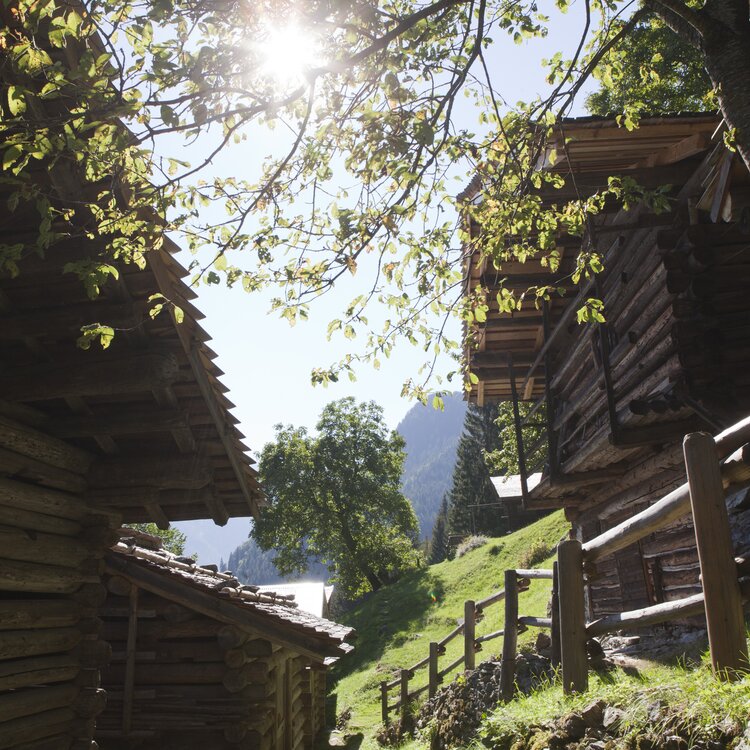
The villages and the “colmèi”, the small hamlets of Ronco, stand mostly on sunny mid-slope areas, surrounded by wide meadows and extensive forests interspersed with pastures and alpine huts. Canal San Bovo is the main village and the municipal center, offering essential services such as the library, pharmacy, tourist office, and the headquarters of the Ecomuseum.
Not far away are the hamlets of Cicona, Prade, and Zortea, from which you can continue towards the Lozen Valley and the Lake Calaita, or towards Passo Gobbera. From Canal, the road leads to the Colmei de Ronc – no fewer than fourteen of them! – or to Passo Brocon, which connects to Tesino, or to Caoria, at the foot of Mount Cauriol. The road ends at Rifugio Refavaie, from where you can continue on foot or by mountain bike. Caoria also hosts the Great War Museum and the House of the Ethnographic Trail. In Zortea you’ll find the Room of the Sacred, a conservatory of devotional memory.
DOWNLOAD THE MAP:


