
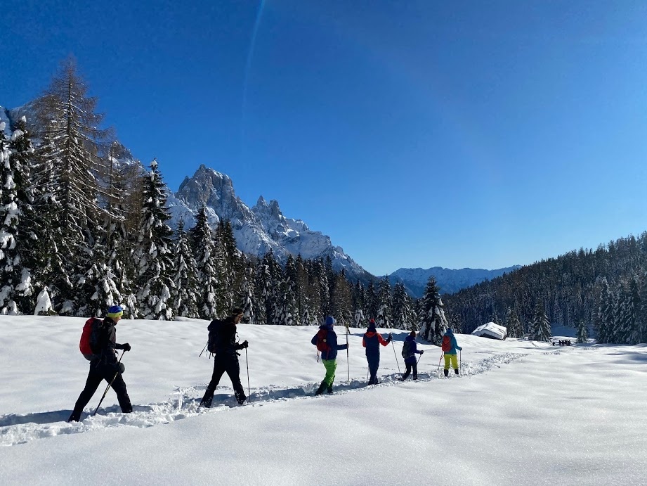
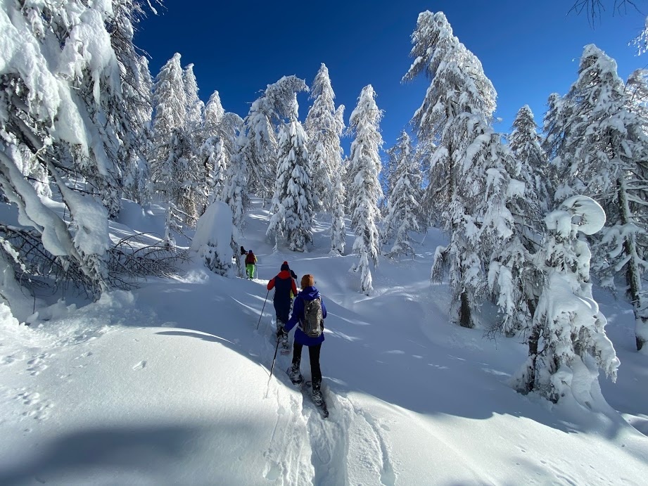
The route from Malga Ces that leads to the Piani della Cavallazza (or Cavallazza) is a hike without any significant elevation gain, allowing you to enjoy beautiful views and pleasant resting places.
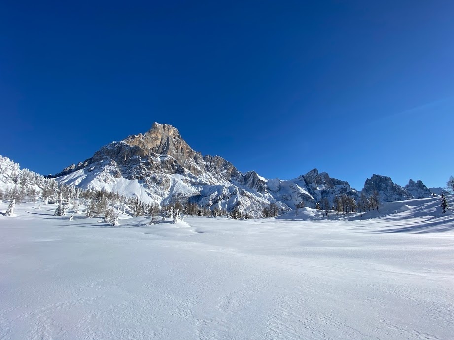
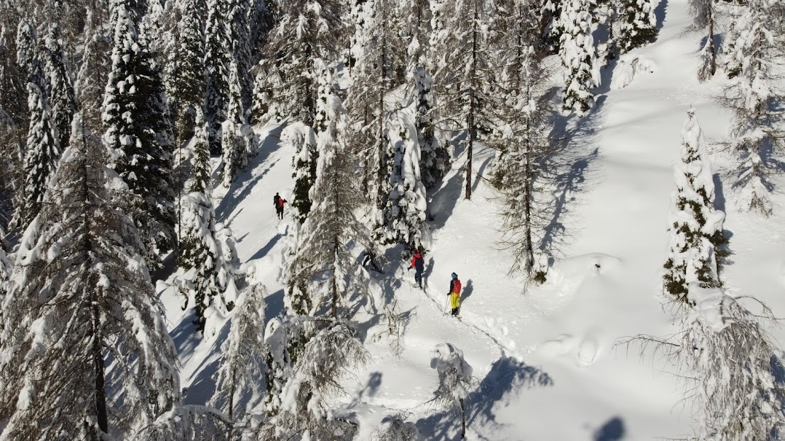
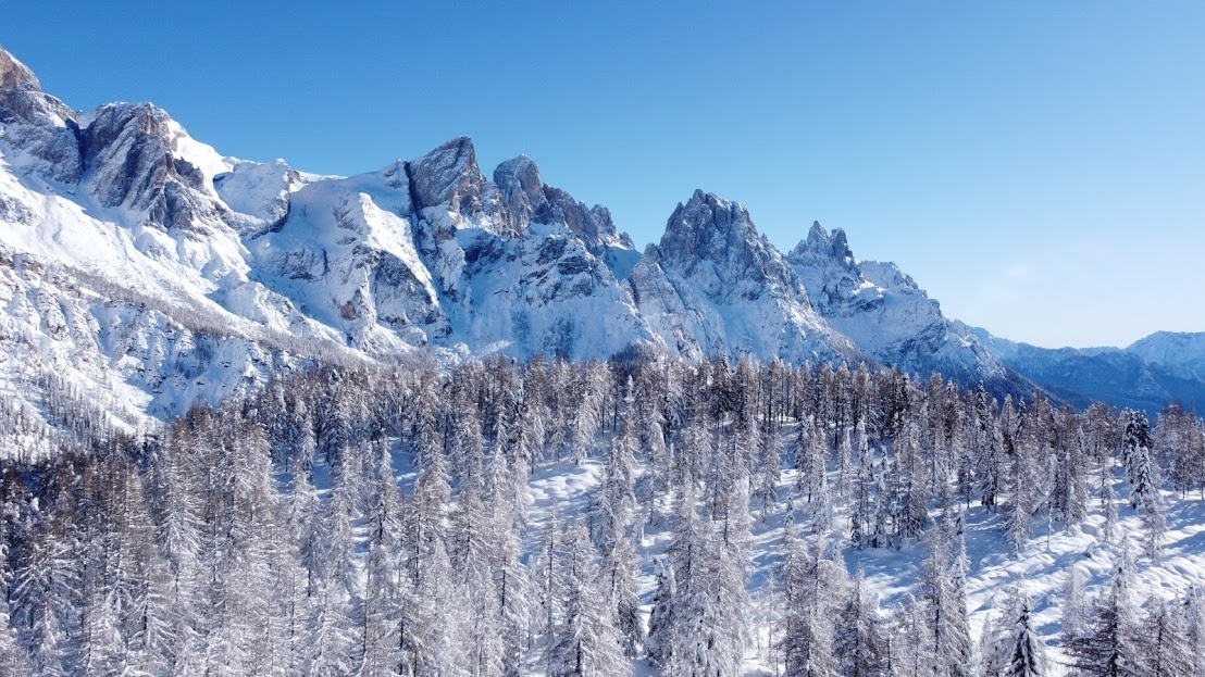
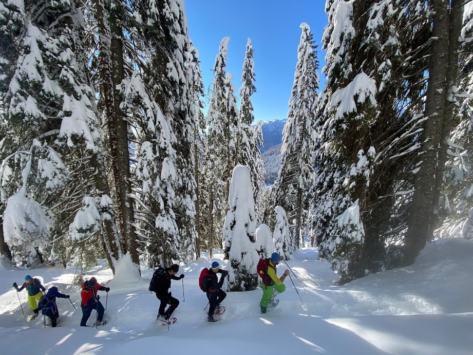
The starting point is Malga Ces (1,660 m asl), which can easily be reached from San Martino di Castrozza even with your own personal vehicle, from where a level path branches off in a westerly direction, initially crossing the “Valbonetta” ski slope before heading into the forest. After a few hundred metres, a sign appears with directions to the Piani della Cavallazza (Trail No. 15, which you take on the left). After crossing the Strada Forestale Val Bonéta forest road, you climb towards the Piani della Cavallazza in the only uphill part of the itinerary, which is nonetheless a comfortable trail with wide hairpin bends and slopes accessible to all. Along the ascent, the trail alternates between woodland and clearings, and after passing a few aqueduct buildings, heads towards the summit of the Piani della Cavallazza (1,972 m asl), with its small but spectacular flat terraces alongside the Cima Cavallazza. From here, you enjoy spectacular views of the Pala Group and at times even the town of San Martino di Castrozza. The trail then descends slightly, leading into a semi-marshy area characterised by sporadic vegetation with larch trees and bog pines, an unspoilt reserve of the Paneveggio Pale di San Martino Nature Park. After reaching a fork that leads to Malga Fosse di Sotto, we recommend continuing for a few hundred metres along Trail No. 15, taking the trail on the left towards the Rolle Pass / Malga Fosse di Sopra. This section of Trail No. 15 allows you to cross the most suggestive, panoramic and wild part of the Piani della Cavallazza, with the Cimon della Pala in the foreground together with the Pala Group.


