


-
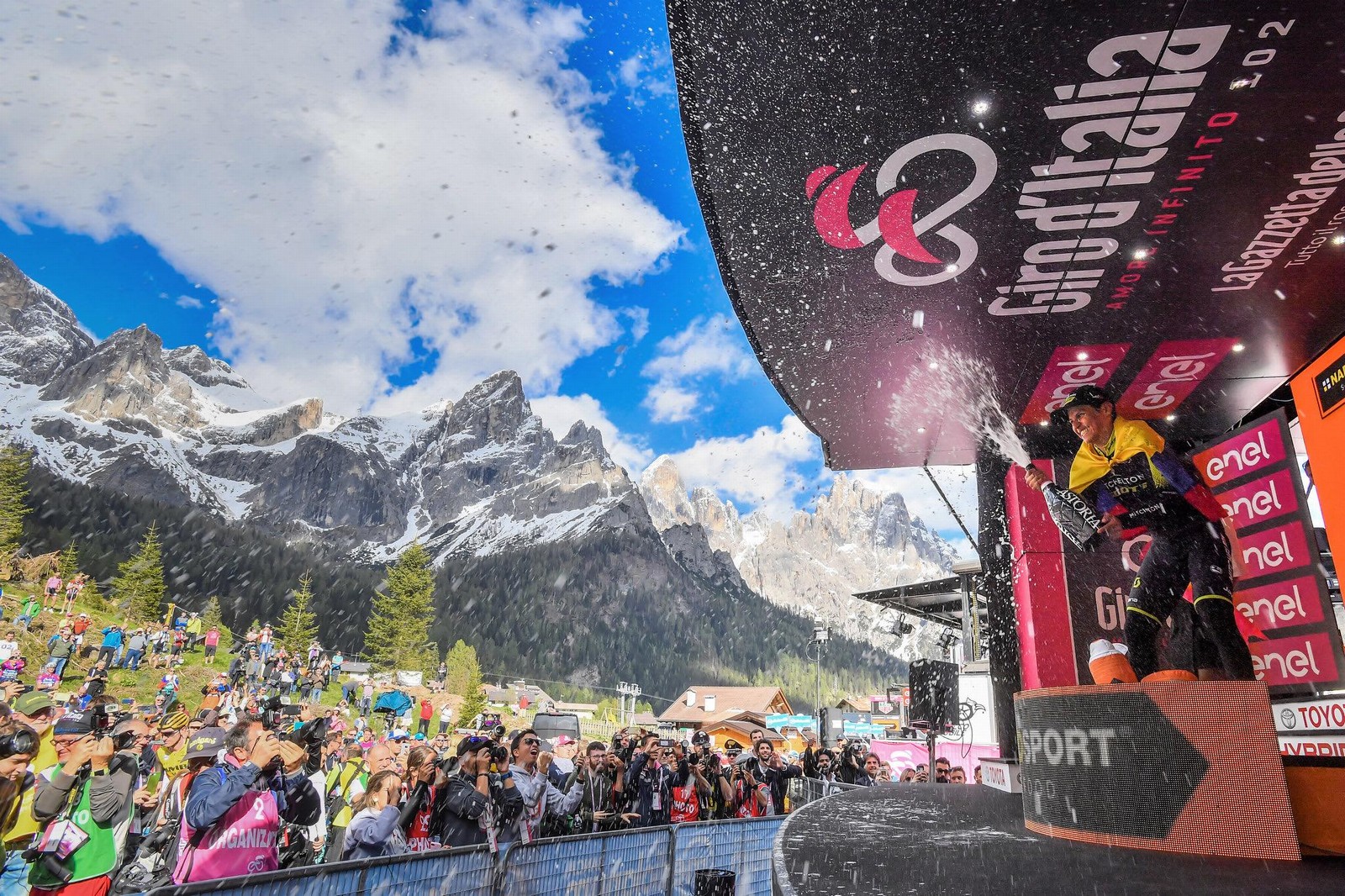
WELCOME BACK GIRO D'ITALIA
-
TWO DAYS FULL OF EMOTIONS IN PINK
-
-
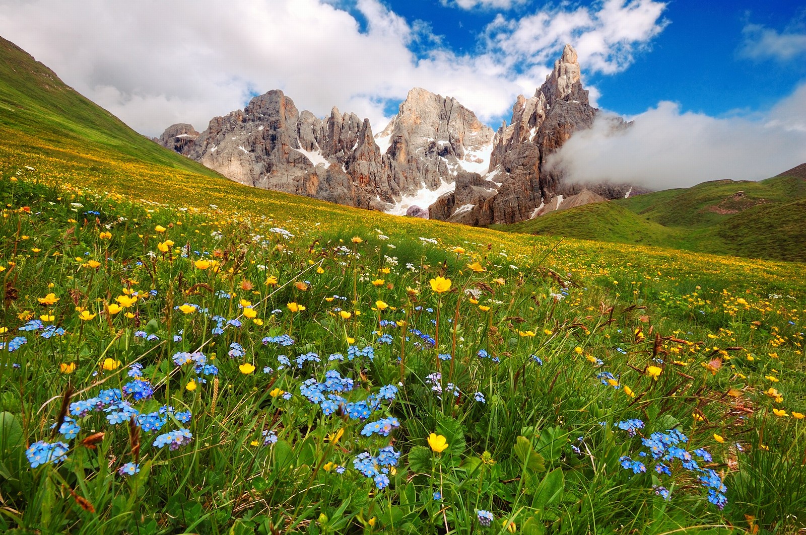
WELCOME TO OUR WONDERLAND
-
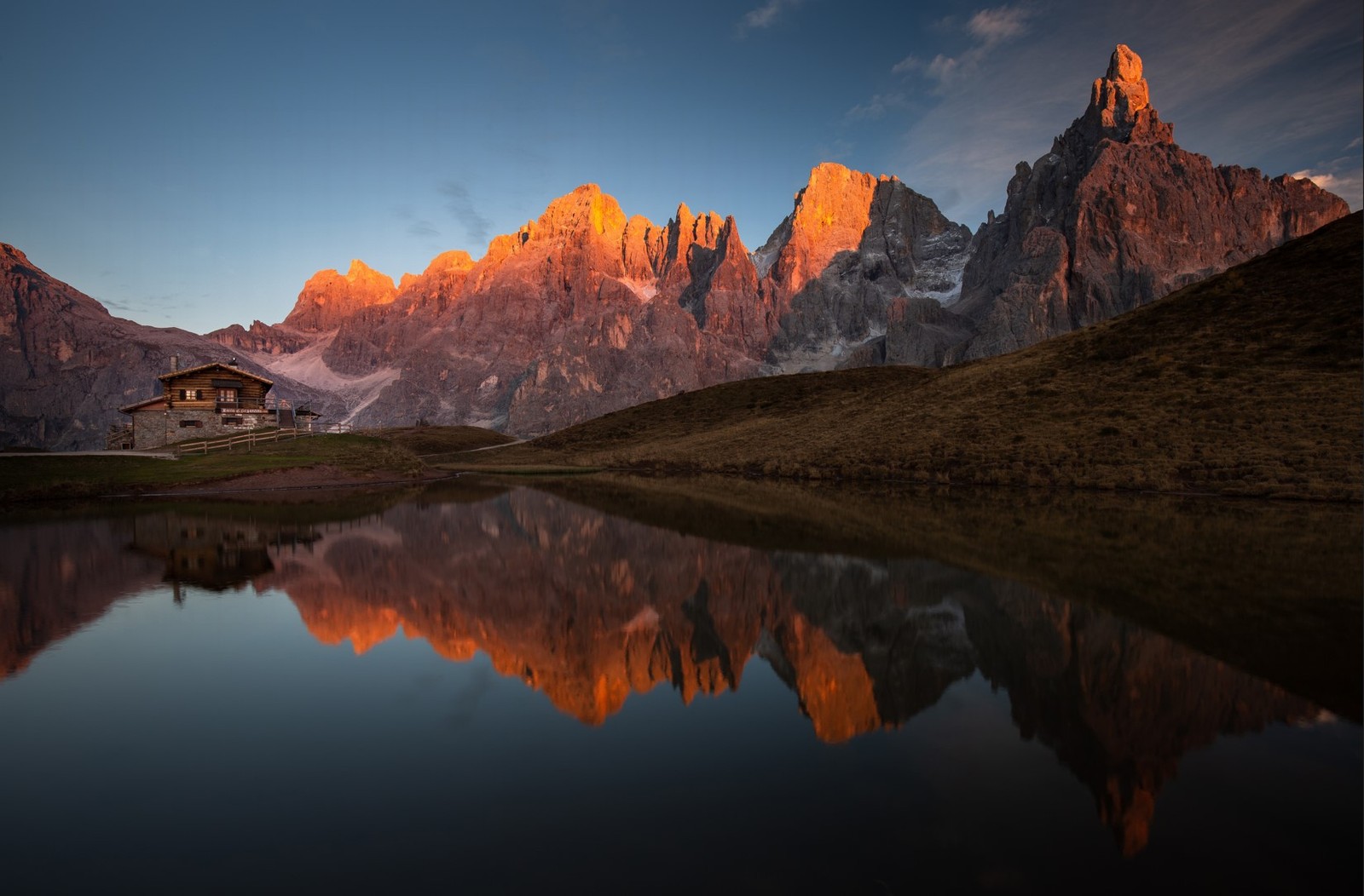
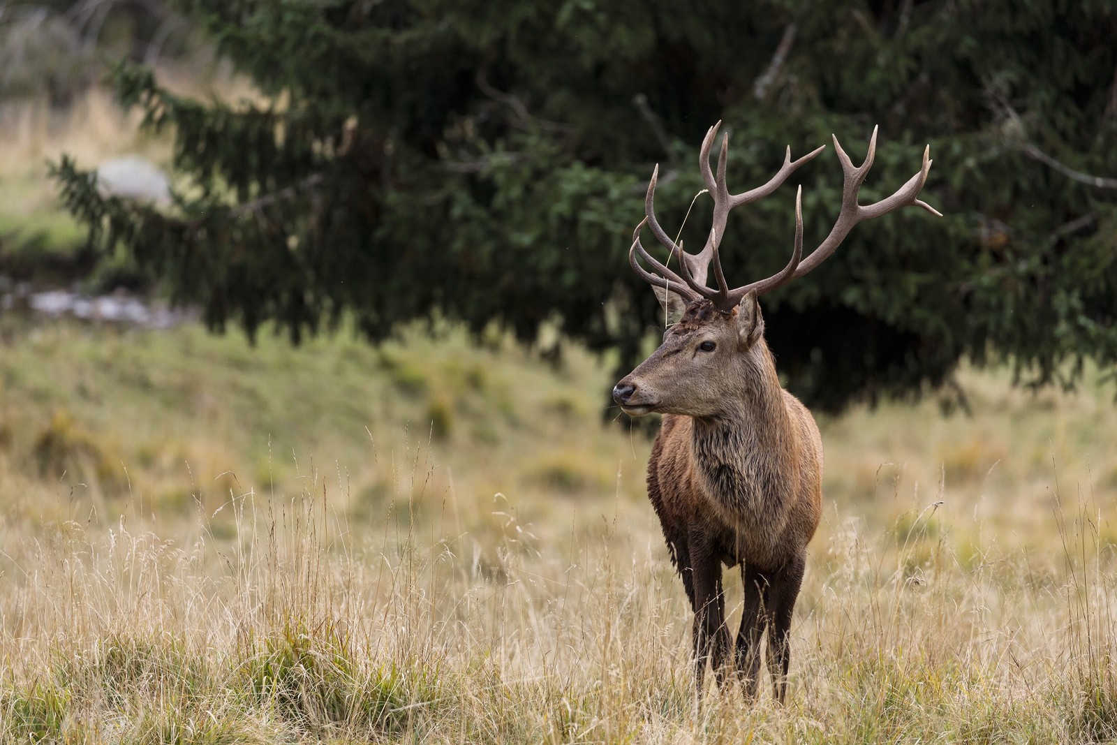
AMAZING SUNSETS
-
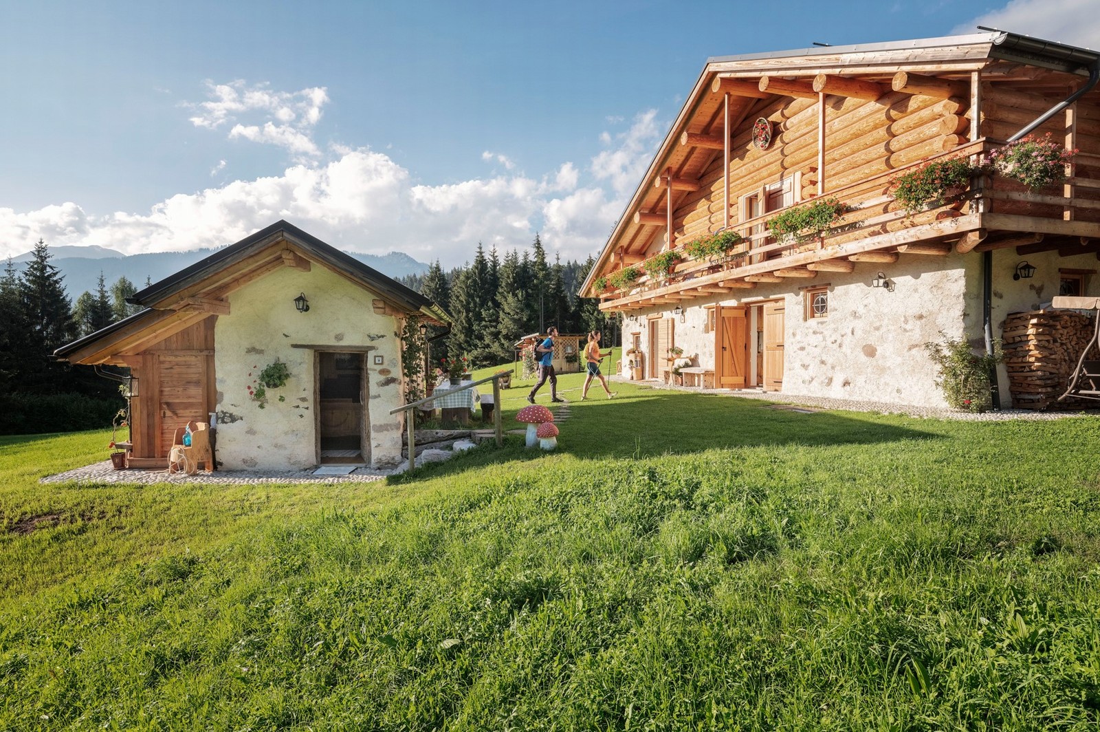
HOSTS BY TRADITION
-
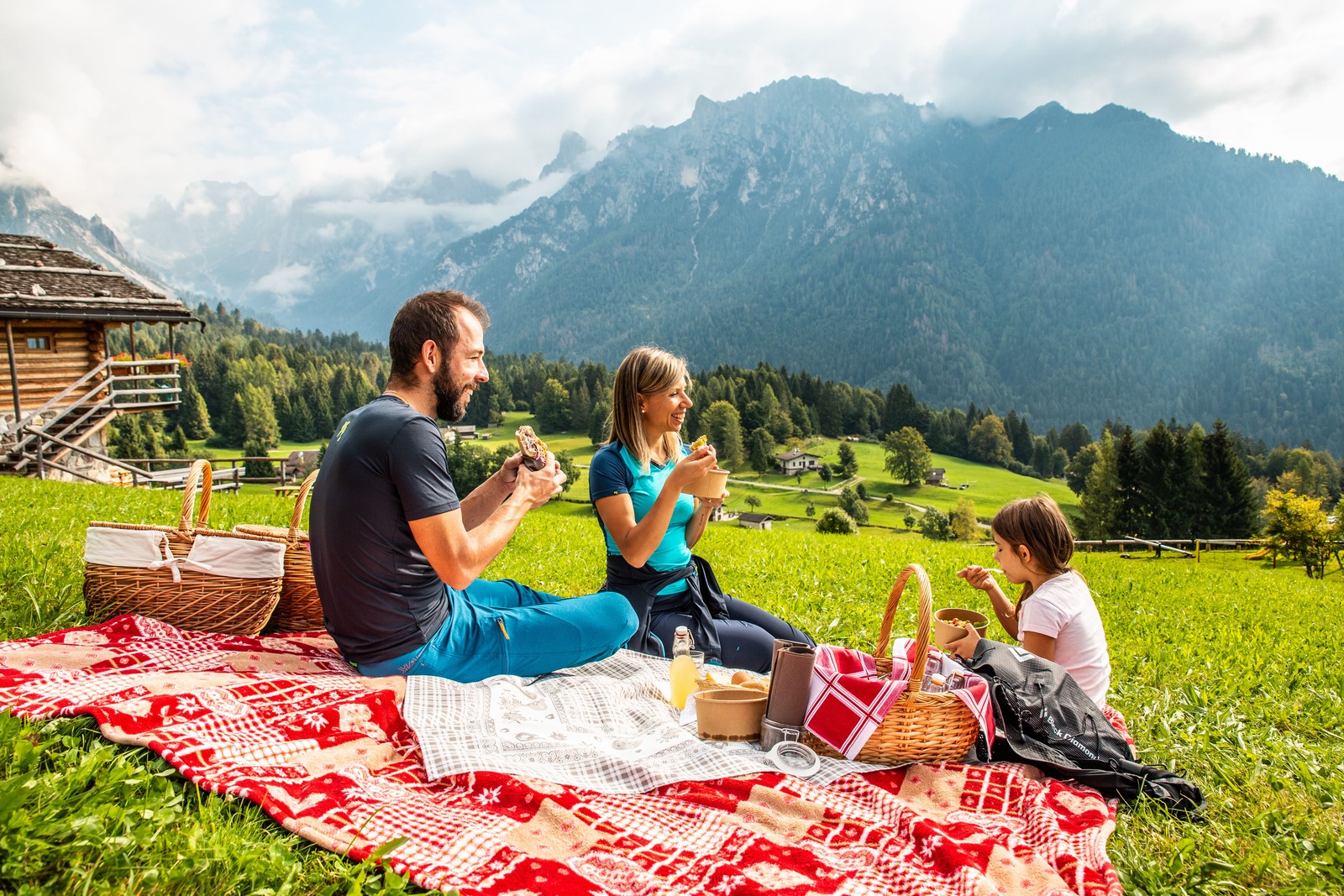
TASTE AND ANCIENT TRADITIONS
-
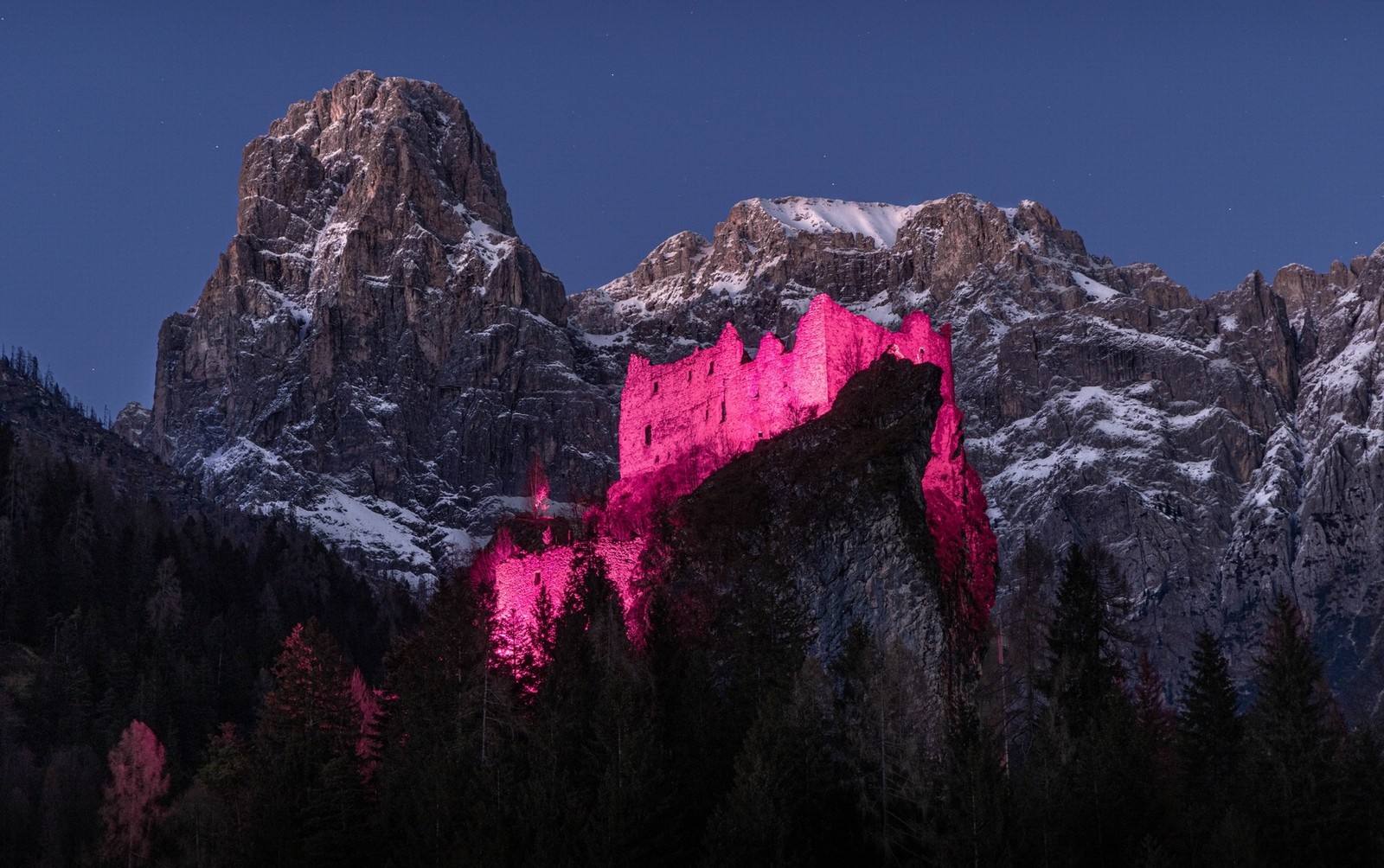
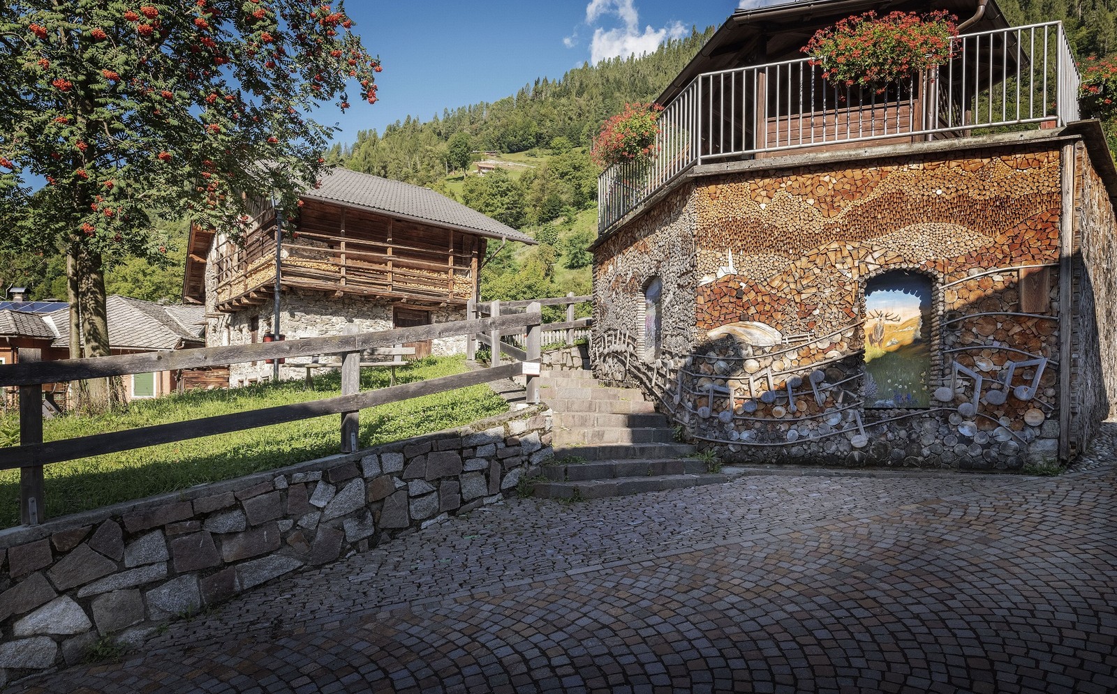
RURAL ART AND CULTURE
-
WE CARE ABOUT THE ENVIRONMENT
Hikes through fields and meadows
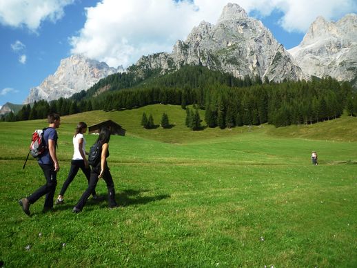
Accessible, easy and suitable for everyone. The hikes through fields and meadows are usually on level ground or with moderate gradients, not demanding and certainly relaxing. This also represents a way to discover mountain-hut architecture, the materials used, the simple yet efficient techniques that have been used for centuries to build masonry stables and casère (mountain dairies) as well as wooden barns.
Piani della Cavallazza
• From Malga Fosse by trail (signpost No. 15):
elevation gain 100m, elevation loss 60m, 1.30 hours, moderately difficult.
• From Malga Ces by trail (signpost No. 15): elevation gain 300m, 1.30 hours, moderately difficult.
Baita Segantini
• From Passo Rolle on dirt road:
elevation gain 200m, 1 hour, easy.
• From Malga Fosse by trail (signpost No. 712): elevation gain 240m, 1.30 hours, moderately difficult.
Prati Dismoni
• From Siror on the Piana/Zocaril road (signpost No. 377):
elevation gain 550m, 2 hours, easy.
• From San Martino di Castrozza by the Malga Crel forest road (signpost No. 350):
elevation gain 130m, elevation loss 250m, 2 hours , easy.
Prati Ronzi
• From San Martino di Castrozza (upper Colverde cable-car station) by forest road (signposts No. 702-724-745): elevation gain 100m, elevation loss 400m, 2 hours, easy.
• From Val Canali (Piereni) on dirt road/trail through the localities of Fosne/Rodena/Prasorin (signposts No. 719-731): elevation gain 250m, elevation loss 100m, 2 hours, moderately difficult.
Prati Fosne - Prà cimerlo
• From Val Canali (Albergo Baita La Ritonda) by dirt road/mule track across the fields of Cercenadura/Piereni: elevation gain 250m, 2 hours, easy.
Prati Cenquei - Stiozze Ring Route
• From Baita del Vecio by dirt road and trail (signpost No. 723): elevation gain 200m, 2 hours, easy.
Val Giasinozza
• From Rifugio Caltena by dirt road (signpost No. 729): elevation gain 100m, 1.00 hour, easy.
• From Malga Fossetta by trail through Passo Palughét (signpost No. 729): elevation gain 400m, elevation loss 650m, 3.30 hours, difficult.
Prati San Giovanni
• From Rifugio Caltena by dirt road (signpost No. 728): elevation gain 50m, 0.45 hour, easy.
• From Agritur Le Vale farmhouse inn by dirt road (signposts No. 726-728): elevation gain 250m, 1 hour, easy.
• From Mezzano (loc. Oltra) by the Tasedi/Falasorni trail (signpost No. 728): elevation gain 650m, 2.30 hours, facile.
To the Masi del Lozen
• From Zortea, by tarmac road and mule track: elevation gain 150m, 1.30 hour, easy.
Around Colmèi de Ronc
• From Ronco Chiesa, by trails and mule tracks: elevation gain 200m, 2.30 hours, easy
To the remains of Pralongo mining village
• From Canal San Bovo, località Prologo on a convenient mule track: elevation gain 60m, 0.45 hours, facile.
Church of San Silvestro
• From Passo Gobbera on dirt road/trail: elevation gain 150m, 1 hour, easy.
• From Imer (loc. Masi) by trail (signpost No. 346): elevation gain 350m, 1.30 hours, moderately difficult.